apr
LU Land lecture series on functional landscapes: Satellite data, remote sensing and AI - how can we use today's technology to improve nature conservation?
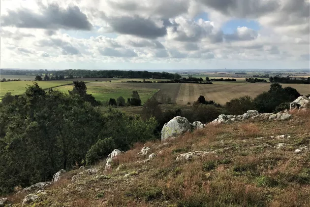
Today's technological possibilities are close to limitless - also for nature conservation! To conduct cost-effective nature conservation work and evaluate the results of the efforts made, a good picture of how different environments look and change over time is required. At today's lecture we will learn more about how to use satellite data and data from monitoring programmes in the work of conservation and management.
At today's lecture, Hakim Abdi, a researcher at the Centre for Environmental and Climate Science at Lund University, will tell us more about his work on using satellite data and data from monitoring programmes to develop methods and data for more informed decisions in conservation and management.
More information and registration
This event will be held in English with the possibility to ask questions in Swedish. More information about the event on the Swedish event page:
More information about the lecture series
The lecture series "Managing functional landscapes for biodiversity - what does the research say?" is a collaboration between LU Land, the County Administrative Board of Skåne and the strategic research area BECC (Biodiversity and Ecosystem services in a Changing Climate).
More information and previous recordings in the series (In Swedish):
LU Land Föreläsningsserie om funktionella landskap – luland.lu.se
Om evenemanget
Plats:
Online via Zoom (A meeting link will be sent to registered participants the day before the seminar)
Målgrupp:
Researchers, societal actors and everyone interested in this topic
Språk:
In English
Kontakt:
juliana [dot] danhardt [at] cec [dot] lu [dot] se